
DOCUMENTATON SYSTEMS AND SENSORS
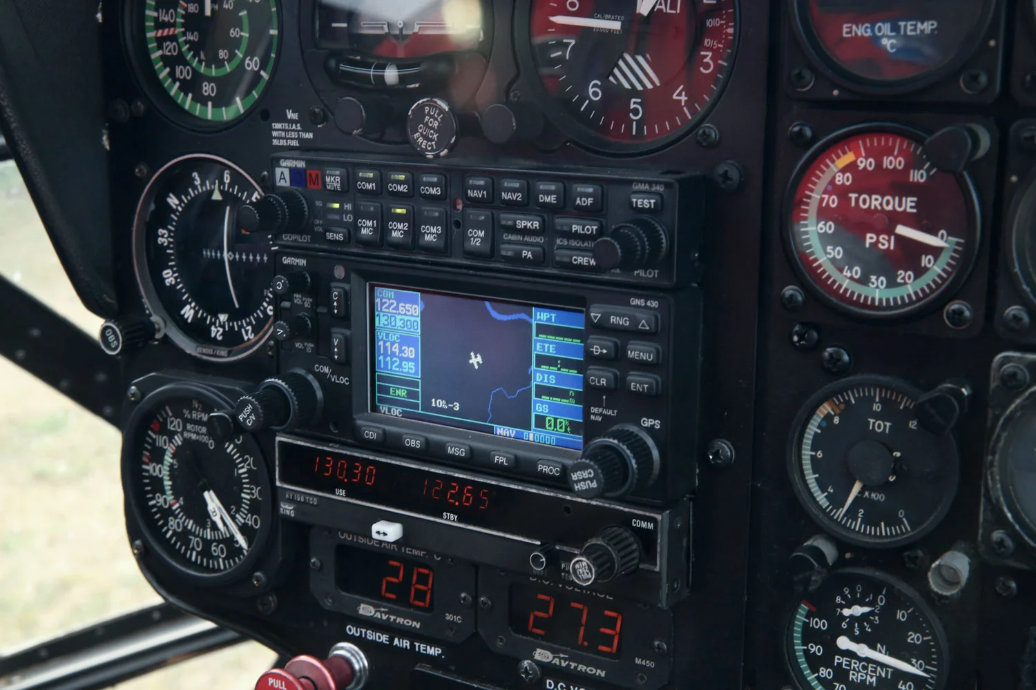
When necessary, it may be important to know and record the exact position of a helicopter. This requires sensors and documentation systems. Their main job is to log and save the position of the helicopter.
Selectable and optional sensors then record the data requested by the customer. Recording the position (GPS) and event (log) in an aerial survey:
- Pipeline documentation based on customer-supplied network data
- Documentation of surfaces treated with width of spread/spray
- Cameras
- Aerial cameras
- Laser scanners
- Thermal cameras
Customer-supplied geographical data in a wide range of formats can be processed or imported directly. The customer decides on the type of data output. The main fields of application of documentation systems and sensors in and on the helicopter are:
- Power line and pipeline inspections
- Viniculture, events, agriculture and forestry operations
- Forest fire fighting
Survey flights by helicopter
By utilizing the slow flight of a helicopter, we are able to produce highly detailed 3-D scans of the terrain being surveyed. Landscape maps created this way can be used to detect danger spots at an early stage. The sensors used in surveys are primarily:
- Aerial cameras
- Laser scanners
- Thermal cameras
