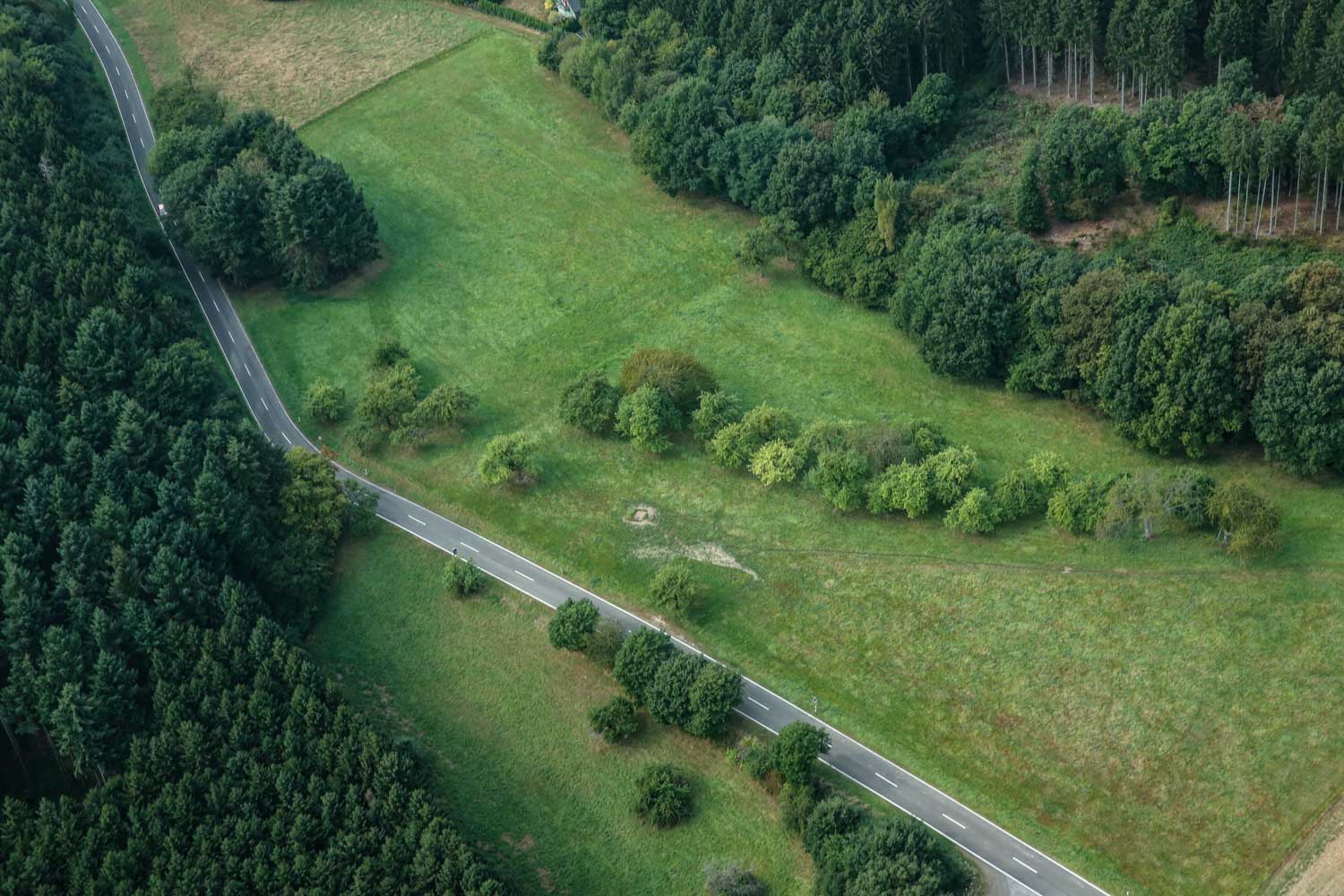
SURVEY FLIGHTS BY HELICOPTER
By utilizing the slow flight of a helicopter, we are able to produce highly detailed 3-D scans of the terrain being surveyed. Landscape maps created this way can be used to detect danger spots at an early stage. The sensors used in surveys are primarily:
- Aerial cameras
- Laser scanners
- Thermal cameras